



 Ανεβάστε φωτογραφίες από
Άγιος Δημήτριος και μοιραστείτε τις μαζί μας!
Ανεβάστε φωτογραφίες από
Άγιος Δημήτριος και μοιραστείτε τις μαζί μας!


Νομός: Ρεθύμνου
 Διεύθυνση:
Κουλούκωνας
Διεύθυνση:
Κουλούκωνας  Τηλέφωνο:




Άγιος Δημήτριος
Μέρη κοντινά με Άγιος Δημήτριος


The village is the seat of the municipal district. It is located at an altitude of 600m and was built the 13th century. The settlement is reported, during Venetian rule, by Barozzi, Kastrofilaka and Basilicata. It is one of few villages in Crete, where there is an increase of population happening during the last few years.
It is one of the more important livestock farming villages of Milopotamos, with 28.000 to 30.000 sheep and goats. It also produces raisins. Finally, the last few years it has seen an impressive growth in the craft of weaving.
The villagers have participated in the Revolution of 1866. Here, the General Assembly of Cretans (September 1868) signed a resolution, addressed to the Great Powers, informing them about the situation inCrete.

Through the gorge runs the "serpentine" Oaxis river that has water till spring. The gorge is easily accessible and safe for hiking, as its slope is small. Zoniana village is a mountainous village of Milopotamos province belonging to Rethimnon Prefecture in Crete. It is built on an altitude of about 640 metres. It has a population of about 1,500 inhabitants, the majority of whom are occupied with agriculture and cattle-breeding. It is situated 43km away from the capital city of Heraklion, but it is also a nice excursion from Rethymnon.


Ο Λάκκος του Μυγερού είναι μια περιοχή που βρίσκεται στη βόρεια πλευρά του Ψηλορείτη στην περιοχή του Λιβαδιώτικου αοριού κοντά στα Λιβάδια αακριβώς κάτω από την κορυφή του Ψηλορείτη σε υψόμετρο 1700 μέτρων και είναι προσβάσιμος με ασφαλτοστρωμένο δρόμο.
Αποτελείται από μια σειρά μικρών και μεγαλύτερων οροπεδίων που αναπτύσσονται κατά μήκος ενός μεγάλου ρήγματος που διατρέχει όλο το βόρειο τμήμα του ψηλορείτη.
Η διάβρωση του εδάφους σχηματίζει τα μικρά οροπέδια (δολίνες) που είναι διάσπαρτα ανάμεσα και πάνω σε καμπυλωτές στο σχήμα κορυφογραμμές.
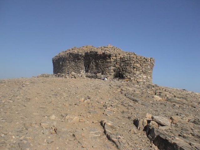
Απο το Λάκκο του Μυγερού ξεκινάει η ανάβαση σε ένα μοναδικό σε ομορφιά και σχεδιασμό περιπατητικό μονοπάτι που ονομάζεται ‘’η Στρατα του Ψηλορείτη’’ για την κορυφή Τίμιος Σταυρός του Ψηλορείτη (2456 μ), την ψηλότερη κορυφή της Κρήτης με πανοραμική θέα.
Settlement of Livadia district that lies at an altitude of 610m and it is known since 1577.
The name of the village comes from the Dorian krini, testifiying that the village has a very long history indeed. The residents of the settlement participated in the revolutionary war of 1868.


 Σύνδεση με
Facebook
Σύνδεση με
Facebook