Your Position:
Unknown
Μέρη κοντινά με Εκκλησία
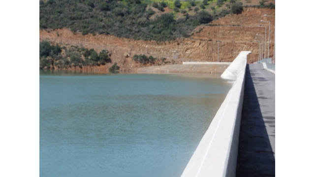
Το νεότευκτο Φράγμα Βαλσαμιώτη ύψους 190 μέτρων στον Βατόλακκο, θα προσελκύσει τους θαυμαστές της σύγχρονης μηχανικής
Karanou is a mountainous village with rich vegetation and attractive residential environment. The activities of the residents is an important factor to keep the population in the mountainous area.The natural environment is characterized by two parallel canyons that enter Mafropilioti river. One is the gorge Borgiana starting from the village with the same name and ending at Mafropilioti river at 1800 meters. Along the gorge there is an old watermill, caves, the entrances of the old quarries in the attempt to iron mining (known locally as Averoff quarries), the representation of space where previously produced charcoal and galleries rich vegetation.Along the Kidoniou Gorge we meet caves, three small waterfalls, the church of Agios Dimitrios and the church of Panagia Mousourenas. The length of the canyon is 2,000 meters and is crossed by a stream with a periodic flow, in which there is water from December to June. About 100 meters before the mouth of the Mafropiliot river, there is a connection with the path leading to the Skordalos village.


