




 Upload your photos for Tsivi Mounts and share them with us!
 Press here.


 Address:
 Telephone:




Places near Tsivi Mounts

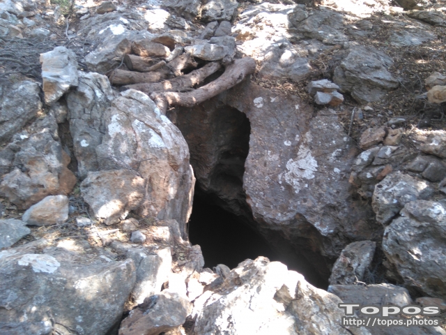
A unique cave Half way on the road from Kritsa to Katharo is "Gaidroupotripa" or "Donkey Hole". It is a remarkable geological feature with interesting fauna, and is one of the 40 explored caves in Crete.
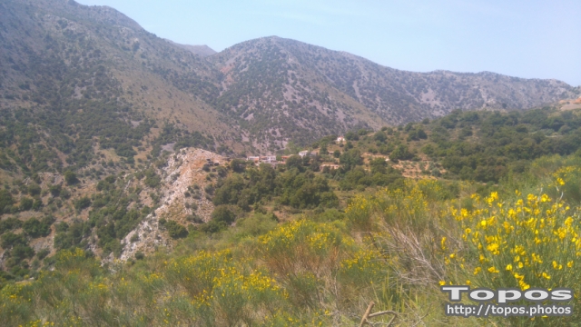
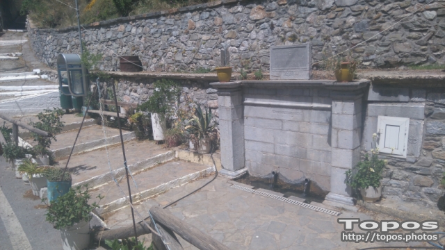


Mesa and Exo PotamiThe most mountainous village of the region is Potami, and is composed of a number of settlements all named after their first inhabitants.These settlements are built on the ravines and on the slopes of Selenas, the local historical mountain which probably owes its name to “Selini” or “ Selina” or “moon”. Hundreds of large and smaller springs of crystal-clear fresh water irrigate the plains where vegetables, apple-trees, walnut-trees and vineyards are cultivated.
Tapes is a small village with approximately 90 inhabitants nestling in an elevated location on the mountains above Lakonia Village and just 15 kms from Agios Nikolaos, East Crete Lassithi prefecture
.
There is just one kafenion in the village and a couple of churches. The village is agricultural and surrounded by olive groves and small holdings with goats and sheep. There are beautiful views over the plains below and the distant sea.
---
West of the Lakonia Plain at a height of 500m, a few kilometres from Laconia, is Tapes. It Is one of the oldest villages and has been continuously inhabited since Minoan times, as can be observed from the ruins of the Minoan settlement in the Kasteras area.

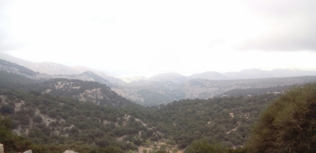

Katharo is a plateau on the east side of Dikti mountain on the island of Crete, in the prefecture of Lassithi. Administratively it belongs to the municipality of Aghios Nikolaos, (municipal division of Kritsa).
It is 16 km from Kritsa (asphalt road) and 12 km from Mesa Lassithi (rough mountain road). It is 4km long, 1.5km wide and at an average altitude of 1150m above the sea level (300 m higher than Lassithi Plateau).
On the West of the Katharo are the peaks of Spathi (2148m) and Lazaros (2085m) and on the North East and East the peaks of Tsivi (1665m) and Platia Koryfi (1485m). The waters of the Plateau drain through the Havgas gorge into the much larger but lower Plateau of Lassithi, i.e. Katharo is part of river Aposelemis drainage area.Due to its altitude the plateau is not inhabited in winter while in summer it has about 500 inhabitants mainly shepherds and a few tavernas. Katharo has a special property status and is essentially community-owned. The fertile soil of the plateau is used for production of vegetables, potatoes and fruit (grapes, pears, apples).
--------
For those who love not only mountains and luxuriant vegetation, but also stark rock, a visit to the Plateau of Katharo should not be missed. Located sixteen kilometers west of Kritsa, at a height of 1.150 meters, the plateau of 60,000 stremma stretches out and here cereals,vegetables, vineyards and fruit-trees are cultivated.Flocks of thousands of local sheep and goats generate dairy products of the highest quality. Katharo is also interesting because of the paleontological discoveries of dwarf hippopotamus and elephant fossils.
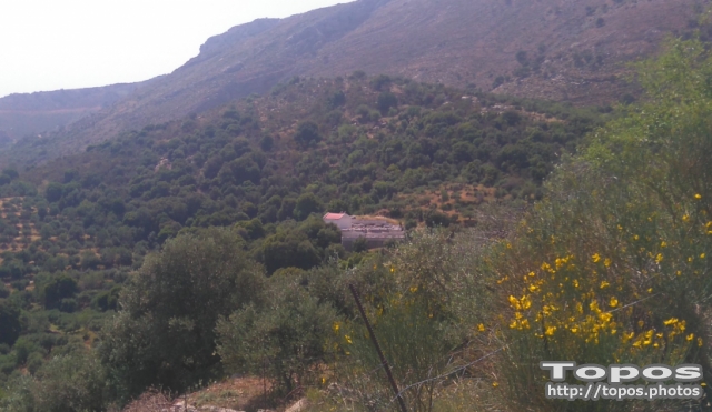
The village of Katharo Plateau
For those who love not only mountains and luxuriant vegetation, but also stark rock, a visit to the Plateau of Katharo should not be missed. Located sixteen kilometers west of Kritsa, at a height of 1.150 meters, the plateau of 60,000 stremma stretches out and here cereals,vegetables, vineyards and fruit-trees are cultivated.Flocks of thousands of local sheep and goats generate dairy products of the highest quality. Katharo is also interesting because of the paleontological discoveries of dwarf hippopotamus and elephant fossils.
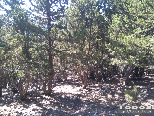


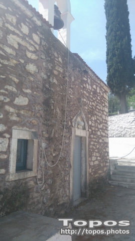
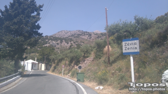
Located at a height of 750m, ten kilometres west of Aghios Nikolaos, beyond the cultivated valley of Drasi.
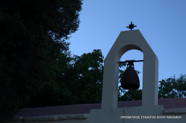

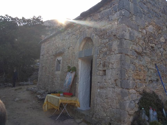
The cave opens at the basis of a huge limestone rock. Is is located 1km (or10min by walking), southeast of the village Adrianos, in a regiod called Chlampouti Koukistres, close to Zenia village (on the way from Neapolis to the Lassithi Plateau).
The distance from Agios Nikolaos city is 23km. It consists of 4 bigger rooms and 5 smaller. The first chamber is larger than the others. The total length of the cave is 48m and the length of the path approaches the 100m.









 Login with
Facebook
Login with
Facebook