



 Upload your photos for Eglezos Bay and share them with us!
 Press here.


 Address:
Ελάσα
Address:
Ελάσα  Telephone:




Places near Eglezos Bay
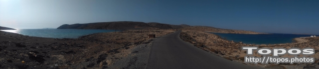


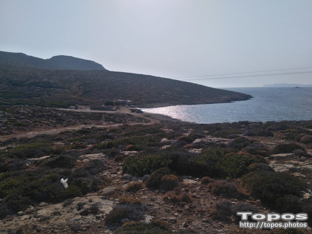
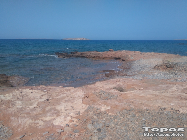
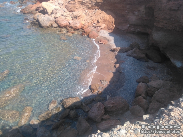
The main feature of the region is the rocks and cliff. The wild raw is perfectly combined with deep blue of the sea and sky.
The rocks expanded in the sea create refuge for a lot of fish. The sea at Tenta is ideal for the lovers of fishing and scuba diving. It is popular on the whole Crete and a lot of visitors come here to enjoy the magic of fishing. There is also pisciculture here.
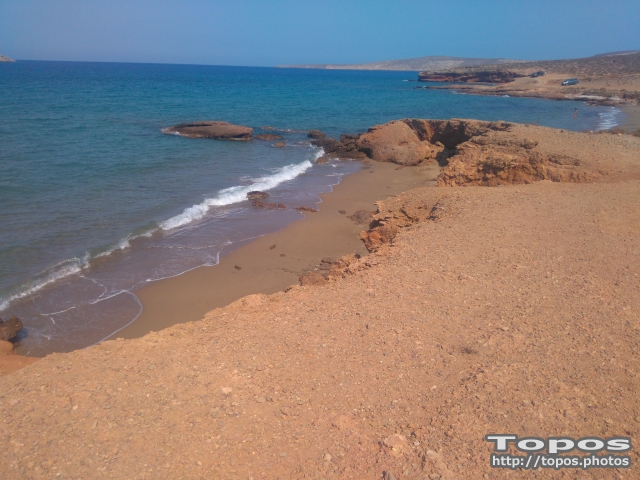
Though the rocks rule over the whole area, there are some small, private voes with sandy beaches ideal for swimming hidden far from nosey eyes.

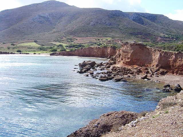


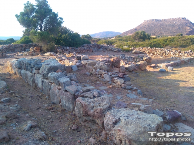
At the northernmost edge of the eastern coast of Crete lie the ruins of a settlement which flourished during the Late Minoan period (1550-1220 B.C.). At the same site, however, are preserved remains of the Early and Middle Minoan periods (3000-1550 B.C.), mostly cemeteries with well-built ossuaries, and ruins of spacious houses. The site ceased to be inhabited at the same time when Zakros was abandoned (1450 B.C.) but was reoccupied during the Late Minoan III period (1300-1200 B.C.). The city covered a total area of more than 50,000 sq.m., was densely inhabited but not fortified.
To the NE of one of the city's sectors lies the sanctuary of Diktaian Zeus, which belonged administratively to the city of Itanos. Cult practice was continuous from the Geometric period (8th century B.C.) until the Roman conquest. It seems that the sanctuary was plundered and destroyed by fanatic Christians at the end of the 4th century A.D.
Dragmos
Is was a location between Itanos and Praisos (or Pressos). In inscription that was found at Itanos and is referred to 58-57 BC, near Diktaion Andron, cites the city.
Stefanos Byzantios says: “Dragmos. It is city of Crete. As Xenion says in his book “The Cretan Issues”, the national adjective is Dragmios or Dragmites.”
Diktaion Temple was under the rule of the city. In c.3rd century, Praisos vanquished Dragmos and thus the Temple became under the rule of Praisos. Later Ierapytna vanquished Praisos and the Temple was under the rule of Ierapytna.
The area where Dragmos located seems to be completely inviolated the settlement is on the coast-side plain of Rousolakkos. The city was 30000 square metres. It was the second larger city (after Knossos) in Crete.
Cemeteries and single tombs have been discovered in the surrounding area; at Sarandari, Aspa, Patima, Petsofa and Kastri hills, near the villages Agathia, Agia Triada and Agios Antonios. A shrine has been discovered on the top of Petsofa hill. In the north, there was also a cavern. Kastri hill and the cape were the acropolis of the city. The gravel-stone pits were at Skaria location. Gravel was very common building material. Thewhich was constructed in Old palaces period, was linking the city with many other Minoan centres. In the end of the Old palaces period, the city was destructed and reconstructed. The reconstructed city was very well organised, in the Mid-minoan IIIB/ Postminoan IA period.
The Neopalatial city is a very characteristic example of Minoan urban design of large roads and blocks. In the Postminoan IA phase, the city was destroyed by earthquake. This earthquake might be part of the Thera volcano upheaval in 1628 BC. The city was again reconstructed after the fire disaster in 1500 BC.
In the early Postminoan IIIB phase, the city was gradually vacated. The last settlements were only at Kastri in the Postminoan IIIC period. After that period, the city was totally vacated.
However, the area was dedicated to Diktaian Zeus. There was also built the temple of Zeus, in the geometric, over the Minoan buildings of block X. In the Roman period, the cult of Zeus revived. At the position of the temple, there has been found inscription with “The hymn to the Diktaian Zeus”. Naked shield-holders young men, who were imitating Kourites, sang the hymn. The tablet is inscribed in both sides. The text of both sides is the same with some tiny differences. The scholars believe that the scrivener made some mistakes and thus he rewrote the text on the other side. The context of the text is invocation to Diktaian Zeus who visits mount Dikte with the Kourites every year. They glorify the goods and the omnipotence of Zeus and they invocate him to bring them happiness, fertility to their land and protect the army and the navy.
It is believed that the cult in the temple was not mystic and the artefacts testify that the cult was continuous from the Geometric period to the Roman dominion. According to the excavation information, the Christians of late 4th century AD, destroyed the temple due to their fanaticism against the paganistic religion.
There have been found very few artefacts: ornamental edge tile of Medusa, terracotta tables with representation of warrior-charioteer and a dog, four bronze shields, tripods, cups, idols and armour models. Outside the temple, there was found a shrine. This ancient city, like Arkadia, Kantanos, Elyros, Inatos and Olous, were places where foreigners could settle. It is assumed this city was Dreros.
The British Archaeological School at Athens excavated Paleokastro (perhaps Dragmos). In the first excavations period (1902-1908), the British archaeologists unearthed the high street, large houses in the city centre, the temple of Diktaian Zeus, cemeteries and other houses in the outskirts of the city and on top of Petsofa hill. The precinct, the altar, and other architectonic parts of the temple have been excavated. The altar was covered with ash. There were also found slates from the roof of the temple, with martial chariots, a terracotta lion, which testifies the cult of Rhea, and the “Hymn to Cretogenes (of Cretan birth) Zeus”, inscribed on table that was smashed into pieces by the Christians. In the second excavation period (1962-1963), block N and Minoan relics at Kastri were excavated. In the third excavations period (since 1986) some buildings of the northern part of the city were cleaned. In 1983, the area was studied topographically and magnetically.
The Greek Archaeological Office excavated the area in the period 1971-1972. The Greek archaeologists unearthed one incinerator, two houses in the eastern part of the city and more objects from Petsofa. In more recent excavations (1987-1990), English archaeologists discovered pieces of half metre statue made of gold and ivory. The statue is known as The Kouros of Paleokastro and is exhibited at Museum of Sitia. In the 2nd World War, the German bombs ruined the archaeological area. In addition, in the same war, Joseph Borsari, Italian infantry captain of Sienna division, destroyed the ancient city totally and on purpose (August 1942). He forced the peasants to remove all the stones from the ruins.

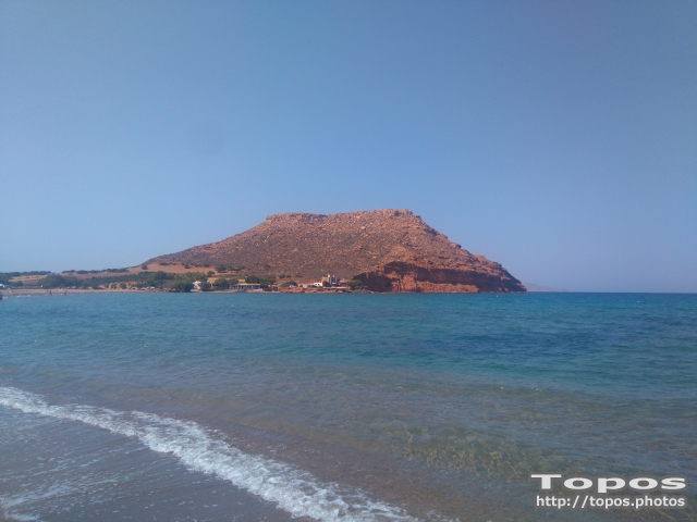


Saint Isidore or Cavo Sidero (see also Cavo Sidero Beach) is located at the northeasternmost tip of Crete, 34km east of Sitia, 16 km from Palekastro, and 99km east of Agios Nikolaos.
The lighthouse was constructed by the French in 1880. The northeastern extremity of Crete is defined by a thin peninsula tipped by Cape Sideros and enclosing the Gulf of Kissamos. The area is also known as Agios Isidoros, "the gift", for a church established there many years ago after a castaway monk came ashore. He built the little church to give thanks to God , since he had been adrift at sea for many days. To have survived the ordeal was, indeed, a gift.
Below the cape is a foundation and parts of columns from a ruined temple to Athena. It was destroyed by an ancient tsumami that swept the coast of Crete after an eruption on Santorini. There is a spring nearby where lightkeepers washed their clothes, and offshore are the sunken remains of several shipwrecks that look like whales swimming on the surface of the sea.
Small islands and large rocks are scattered off Cape Sideros as well as the dangerous Sideros Reef about 600 yards (548 meters) east of the cape. Ships make landfall here and round the cape as they steer in and out of the Libyan Sea. It is a barren area with few inhabitans an ideal place for a monastic existence. However , land developers have taken an interest in the area, and its tranquility is under threat.

Maridati beach is to the north of Kouremenos gulf and has been known for years for its unique multicolored rock formations. They are multicolored shale and other metamorphosed rocks of the Phyllite-Quartzite unit.
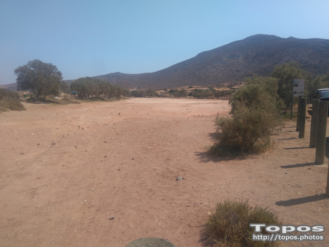

On the coastal zone of Chiona beach in Palekastro there is a minor salt marsh, which composes a small seawater lake behind the beach, with significant aquatic ecosystems.
Natural coastal wetland. It is a seasonal salt pond with sandy substrate which receives fresh water from the surface runoff and the water table. Salty water enters the wetland through the winter wave from a communication channel in the southeastern part. One sandy forehead seperates the flooded area from the beach and the sea, trapping the water in the pond during the winter months.
Size: 23.000 square meters.
Loocated within the limits of a NATURA zone.
Chiona's wetland has significant ornithological importance as a rest area for the migratory birds. A big number of birds has been observed in the area during the winter and the springs months
The amazing beach of Megali Kefala is quite a distance to the south of Vai and the only way to access it is through the hiking trail. The beach’s cliffs contain multicolored metamorphosed Phyllite-Quartzite unit rocks, which create a unique seaside scenery.





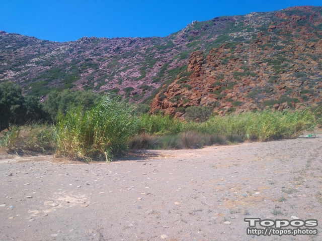

Natural Coastal wetland that reserves water throughout the year. Its existence is preserved by the concentration of underground and surface waters also affected by the sea. Dominant vegetation is Typha domigensis, as well as Arundo donax and Tamarix smyrnensis, mainly around the pond area.
Size: 2.000 square meters.
The wetland is located within the limits of a NATURA zone
Maridati wetland is important as resting area of the migratory birds.


 Login with
Facebook
Login with
Facebook