



 Upload your photos for Cape Kofinas and share them with us!
 Press here.


 Address:
Ελάσα
Address:
Ελάσα  Telephone:




Places near Cape Kofinas
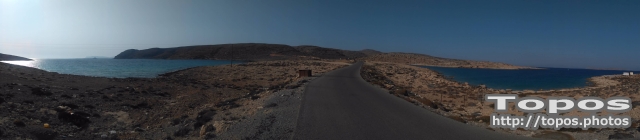


The main feature of the region is the rocks and cliff. The wild raw is perfectly combined with deep blue of the sea and sky.
The rocks expanded in the sea create refuge for a lot of fish. The sea at Tenta is ideal for the lovers of fishing and scuba diving. It is popular on the whole Crete and a lot of visitors come here to enjoy the magic of fishing. There is also pisciculture here.
Though the rocks rule over the whole area, there are some small, private voes with sandy beaches ideal for swimming hidden far from nosey eyes.
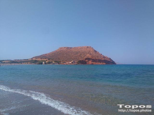


Saint Isidore or Cavo Sidero (see also Cavo Sidero Beach) is located at the northeasternmost tip of Crete, 34km east of Sitia, 16 km from Palekastro, and 99km east of Agios Nikolaos.
The lighthouse was constructed by the French in 1880. The northeastern extremity of Crete is defined by a thin peninsula tipped by Cape Sideros and enclosing the Gulf of Kissamos. The area is also known as Agios Isidoros, "the gift", for a church established there many years ago after a castaway monk came ashore. He built the little church to give thanks to God , since he had been adrift at sea for many days. To have survived the ordeal was, indeed, a gift.
Below the cape is a foundation and parts of columns from a ruined temple to Athena. It was destroyed by an ancient tsumami that swept the coast of Crete after an eruption on Santorini. There is a spring nearby where lightkeepers washed their clothes, and offshore are the sunken remains of several shipwrecks that look like whales swimming on the surface of the sea.
Small islands and large rocks are scattered off Cape Sideros as well as the dangerous Sideros Reef about 600 yards (548 meters) east of the cape. Ships make landfall here and round the cape as they steer in and out of the Libyan Sea. It is a barren area with few inhabitans an ideal place for a monastic existence. However , land developers have taken an interest in the area, and its tranquility is under threat.
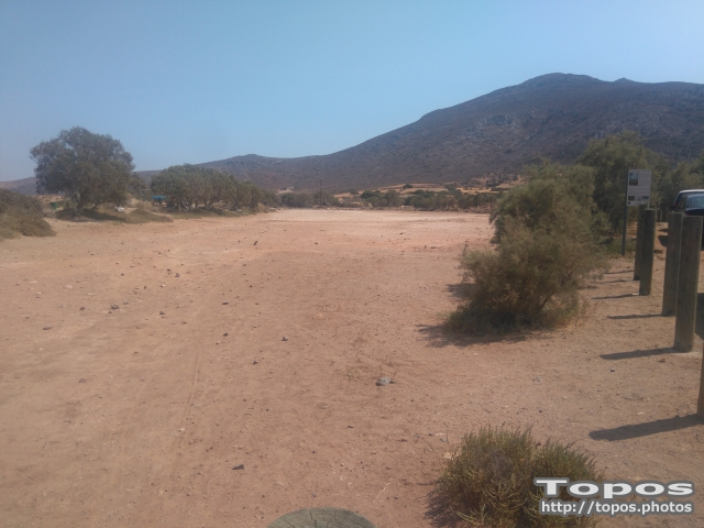

On the coastal zone of Chiona beach in Palekastro there is a minor salt marsh, which composes a small seawater lake behind the beach, with significant aquatic ecosystems.
Natural coastal wetland. It is a seasonal salt pond with sandy substrate which receives fresh water from the surface runoff and the water table. Salty water enters the wetland through the winter wave from a communication channel in the southeastern part. One sandy forehead seperates the flooded area from the beach and the sea, trapping the water in the pond during the winter months.
Size: 23.000 square meters.
Loocated within the limits of a NATURA zone.
Chiona's wetland has significant ornithological importance as a rest area for the migratory birds. A big number of birds has been observed in the area during the winter and the springs months


 Login with
Facebook
Login with
Facebook