



 Upload your photos for Flega Spring and share them with us!
 Press here.


 Address:
Κελάρια
Address:
Κελάρια  Telephone:




Places near Flega Spring


Magas (Brysidi)
A small village whose inhabitants gradually abandoned it around 1850 and went down to Palaikastro seeking more fertile fields. A few traditional stone houses have been preserved, as luckily some descendants return and renovate them with care and respect, to blend in with the rocky landscape.
Mitato (the word means «cheese dairy» in the Cretan dialect) is the central village of a community of five small villages, the other four being Chonos, Xerolimni, Krioneri or Misiryou (perhaps derived from the Latin missir: gentleman or lord, or Misr: Egypt) and Vrisidio or Magassa. The road to these villages passes through Roussa Ekklisia. Prehistoric tombs were found at Langos in the Mitato district, and on the summit of the hill Modi (539m) which also belongs to the community. Mitato Mitato Mitato An open-air peak sanctuary was excavated in 1971. This had not been plundered and many votive offerings were found, including a lot of bronze votive knives. Traces of a building were also located. Nowadays, because of the high mountain climate (590m above see level), fewer and fewer people live permanently in these villages; most of the former inhabitants spend the greater part of the year in Palekastro or Sitia


The Epano Zakros spring has been formed due to the contact between two water permeable Tripolitsa limestone formations, which are thrust on the non permeable metamorphic rocks of the Phyllite-Quartzite unit. The water moves through the caves of Zakro’s mountains until it reaches its exit at the spring. The water from the spring irrigates the entire surrounding region, while it preserved important ecosystems that even reach Kato Zakros. In the past, it supported several watermills, some of which are preserved to this day.
Distances:Kellaria - Palekastro 12 kmKellaria - Sitia 30 kmKellaria - Heraklion Airport 160 kmKellaria - Kato Zakros 16 kmKellaria - Xerokampos 18 km
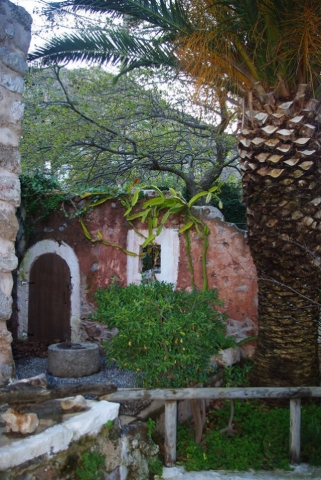
Water Museum and Old Watermills in Zakros Village, 19km far from Palekastro and 36 from Sitia
. Walking from the village square towards the sources of Mesa Mylou, through the narrow streets of the village, you come across three renovated traditional watermills and the Water Museum.
Until the 70s, those watermills were working with the waterfall and were used by the locals for grinding, making olive oil or for washing their clothes.
The museum is inside the renovated watermill of “Rodanovagellis”. There you can see old equipment and tools that the locals used in their everyday life, their household and their outdoor activities. Furthermore, in the museum there are much traditional furniture, Cretan woven, photographs and everything else that is related to our local tradition and culture.
The renovation of the watermills and the museum started in 1999 with the support of Sitia Growth Organization, the Itanos Municipality and of course the residents of Zakros who donated many old exhibit for the museum.
The renovated buildings are:
• The old cheese- dairy
• Brillakis Watermill
• Rodanakis building
• The Watermill – Factory of Rodanakis
• The Watermill – Bakery of Xapapa


The second gorge of Epano Zakros is located to the north of the first one and is also an impressive geotope. The gorge can be seen from the country road going from Karydi to Adravasti.

It includes natural sculptures chiseled by the weather and erosion in the Tripolitsa limestone rock formations, and which can be found on the footpath leading from Epano Zakros to Skalia. These processes create strange rock forms that look like statues, and with a little imagination one can make out familiar silhouettes from the animal kingdom!
http://www.sitia-geopark.gr/

The first gorge of Epano Zakros starts from the dirt road exactly above the spring of Epano Zakros. The gorge is very impressive, especially after the dirt road where unique landforms have developed in its walls.
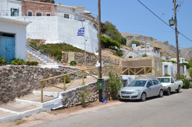
This village belongs to the Itanos Municipality. The origin of the name is unknown, perhaps it is derived from a family name. It is not mentioned in the 1583 census, but it is believed to have been razed with other villages during Turkish pirate raids in 1471 AD and later reestablished after the 16th century.
Το the west of the settlement is the hill of Endichtis (560m) which was believed to have been the site of a peak sanctuary. Excavations in 1972 however proved that this could not have been so. Various things such as loom weights, a whetstone and clay spindle whorls were collected, but not one single figurine, which seems to exclude the possibility of this spot having been a shrine. So it must be regarded rather as a simple habitation.
Adravasti is 36 km from Sitia, 2 km from Zakros and 16 from Palekastro.From the book "Sitia", N. Papadakis, Archaeologist, 1983
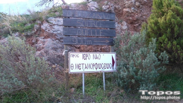


Kamares is a small hamlet at the beginning of Chochlakia gorge with characteristic local architecture.
Between the hamlets of Magassa and Mitato and in certain segments of the country road that connects them, portions of the old cobbled road that used to connect the two hamlets is still preserved.
Between Palekastro and Zakros in east of Crete you can find lots of pretty villages with beautiful churches in a green surrounding. Azokeramos is one of them and it can be reached on the Sitia - Palekastro - Azokeramos - Zakros road. The distance from Sitia is about 30 kilometers.
At the entrance of the village there is the Byzantine church of Agios Ioannis. Together with a number of other small villages the village of Azokeramos lies in in a fertile valley that is surrounded by high mountains on all sides. In the village Azokeramos itself there is a nice big church in the shape of a cross. Next to the church stands the clock tower and it is surrounded by cypresses.
Here you have wonderful views over the valley which is filled with olive trees. A little deeper into the village there is another small church that consists of two houses with turrets at the back. At the front you can see the tower with the clock rise high above the church. The front also has three crosses. Also there are many crumbling old stone houses in the village.
Distances:Kellaria - Palekastro 9 kmKellaria - Sitia 26 kmKellaria - Heraklion Airport 158 kmKellaria - Kato Zakros 19 kmKellaria - Xerokampos 20 km

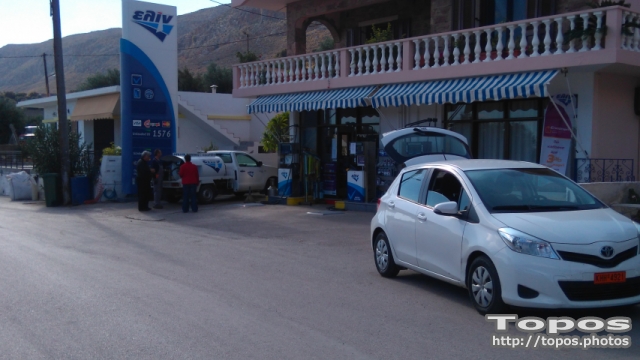

Mitato (the word means «cheese dairy» in the Cretan dialect) is the central village of a community of five small villages, the other four being Chonos, Xerolimni, Krioneri or Misiryou (perhaps derived from the Latin missir: gentleman or lord, or Misr: Egypt) and Vrisidio or Magassa. The road to these villages passes through Roussa Ekklisia. Prehistoric tombs were found at Langos in the Mitato district, and on the summit of the hill Modi (539m) which also belongs to the community. Mitato Mitato Mitato An open-air peak sanctuary was excavated in 1971. This had not been plundered and many votive offerings were found, including a lot of bronze votive knives. Traces of a building were also located. Nowadays, because of the high mountain climate (590m above see level), fewer and fewer people live permanently in these villages; most of the former inhabitants spend the greater part of the year in Palekastro or Sitia Mitato Mitato From the book "Sitia", N.Papadakis, Arcaeologist,1983

The plateau of Mavros Kambos can be found between Epano Zakros and the area of Skalia, crossing the E4 European long distance path. It is a beautiful plateau which is home to several small wetlands.
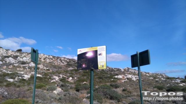

Maza gorge starts in Karydi and ends just outside Adravasti. It is long with impressive landforms in its interior, however the trail is only for experienced canyoners. In the past it was the main road connecting various hamlets.


Zakros’ Natural History Museum
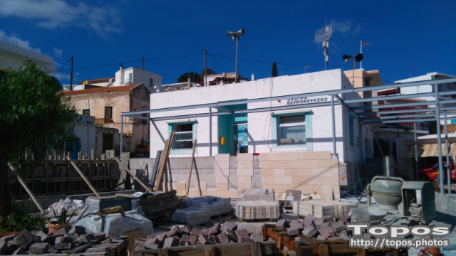
The Zakros’ Natural History Museum is located at the Polykentro building, lying along the main road that crosses Epanos Zakros village.
The Museum is dedicated to the natural environment of the Park. The flora, fauna, and geology of the area is presented through small dioramas (reconstructions of ecosystems), staffed animals, posters and displays of rocks and fossils. Visitors can find all printed material of the Park, can watch the Sitia Nature park video, can browse the parks’ website and visit the European and Global UNESCO’s geoparks.
The museum offers parking and toilets and is open during summer times. During winter visitors should contact park’s authorities or Sitia Municipality.
Lydia is an abandoned hamlet where the local architecture of stone dry stone buildings is preserved.



 Login with
Facebook
Login with
Facebook