Press here.
Places near church - Cemetary
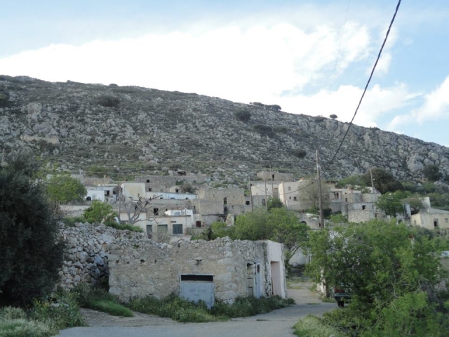
The plateau of Ziros is in the southwestern part of the park and covers a significant area, which is home to the village by the same name, a small seasonal marsh, as well as many crops and human activities.
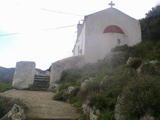
This plateau is at an altitude of about 600 m. at the west side of Zakros village. 30 km away from Sitia, Ziros is the center of the Lefki municipality. Around Ziros there are the villages Hametulo, Lamnoni, Kalo Horio and the coastal settlement of Xerokambos. The whole plateau is planted with vineyards and the region is famous for its wine and raki production.10 kms away from Ziros is the village Hametulo from which is starting the interesting trek of the homonymous gorge. The gorge is dry but impressive and it ends to the beach of Xerokambos.Near by Handras are two important Venetian settlements, Voila and Etia. The settlements are preserved in a good condition due to the reconstruction program of Lefki municipality. The Venetian settlement Voila is spread across a hill 1km away from the village Handras. In the same place there is the church of Agios Georgios.
Springtime is the optimal time here for discoveries of botanical interest. The route towards Chandras to the west is made easier with your back to the morning sun.
An area of dense green vineyards surrounds your route along the asphalt road. Just before Chandras, follow the end of the asphalt road to the right and still keeping right along a narrow passageway, follow the dirt road to Katelionas village. (A small detour leads to Voila with its historical, religious and architectural sights-200 metres off your route). Continuing along in the same direction, go through Sitanos village, which location is protected from the northwest winds. It has been claimed that this is the place to which the inhabitants of ancient Itanos went after the destruction of their city.The route after Sitanos heads west and left and eventually goes downhill towards Katsidoni (where there is a traditional coffee shop). The dirt road to the left (before the village) within the olive groves brings you south to the asphalt road that leads left to Chandras and Ziros from where you started. South and close to Ziros are villages and settlements untouched by modernization, and further south the wonderful beaches of the Libyan Sea such as Xerokambos, as well as the particular natural beauty of the island of Koufonisi. From a botanical point of view, the monastery of Kapsa with its gorge (Kapsa gorge is located next to the Monastery) of the same name, and Goudouras village and the beaches at this area have some rare species of plants that are endemic only to this area.
The present name comes from the central church which is dedicated to, the Holy Trinity, but the derivation of the original name Tso is uncertain and no basis can be found to support the view that it comes from an old family of that name. Emm. Angelakis writes that the village existed during the years of the Venetian occupation but was destroyed by Turkish pirates in 1471 AD and that the site was rein habited in the 16th or 17th century. P. Faure who has done research on the Venetian archives in Crete says that the name Tso is not found at all in the deeds of the Venetian period.
The hamlets of Dasonari, Leivari, Achladi, Stalos and Amygdali also belong to the community of Agia Triada. Archaeological research in the vicinity of these small settlements resulted in many indications that this area was occupied during ancient times, especially at Stalos where a Minoan settlement and tholos tombs were found, and in the Leivari district where the Alogara cave was used as a dwelling during the Minoan period.
From the book "Sitia", N.Papadakis, Archaeologist,1983


